


The Met Office has issued a yellow weather warning for rain up to 6 pm on Sunday, with further updates expected to be issued in the coming days.
The southern half of the of the UK will continue to see rainfall over the weekend with some areas seeing heavy showers, and prolonged rain causing more flooding and disruption in places.
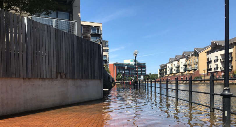
The warning from Met Office, follows flash flooding hitting several areas of South Wales overnight.
Ten properties were flooded at Ty Caer Castell, Bridgend, and one person was rescued by firefighters from South Wales Fire and Rescue Service.
And flooding was also reported at High Street in Whitchurch, Cardiff, and Talbot Road in Port Talbot while sandbags were handed out in Aberavon.
Natural Resources Wales issued a Flood Warning for the River Ewenny and Vale of Glamorgan West, which has since been issued.
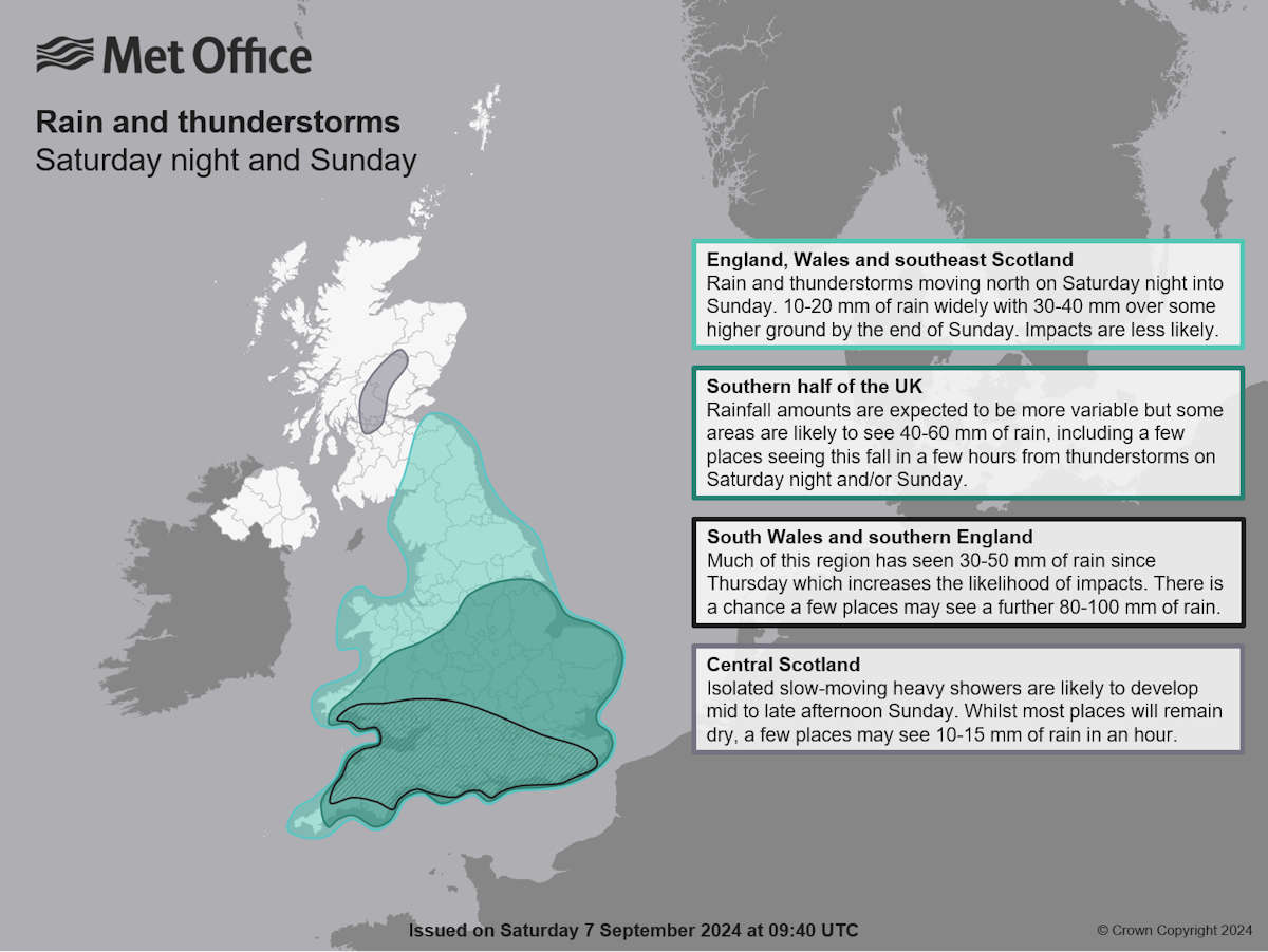
In a statement on Saturday lunchtime, the Met Office issued a yellow weather warning for rain for Saturday night and Sunday, covering much of southern Britain.
Heavy rain and thunderstorms are expected to arrive in the southeast on Saturday evening and develop into a more organised band of rain across central and western areas into Sunday. Whilst some sunshine is likely to develop in the southeast on Sunday, further slow-moving thunderstorms are likely.
This yellow warning is in place until 6pm on Sunday and it is possible that further updates to warnings may be issued during that time, including escalation to amber on a more localised scale if confidence in impacts occurring increases.
Rainfall amounts will vary considerably within the warning area, with some places seeing less that 10mm of rainfall while others see 40-60mm of rain over the weekend. Some isolated areas, most likely in the southern half of the warning area could see as much as 80-100mm of rain by the end of Sunday, which coming on the back of the already wet conditions, could result in greater impacts than would usually be expected at this time of year here.
This weather set up is due to a more complex than usual meteorological pattern involving multiple corridors of heavy, locally thundery rain revolving around a slow-moving area of low pressure.
Met Office Chief Meteorologist Matthew Lehnert explained: “Further spells of rain are likely to affect southern Britain this weekend, generating some localised impacts on Saturday night and Sunday. We currently have a yellow weather warning for rain in place, and there’s potential for further updates over the weekend.”
“It’s a different story further north though, as high pressure brings warmer and sunnier conditions, with higher-than-average temperatures, particularly across parts of western Scotland. Eastern areas are likely to be cooler and at times, cloudier due to winds blowing off the North Sea.”
“We are keeping warnings under review and will look to issue them over the weekend as confidence increases, so please keep up to date with our latest forecasts and warnings."
 Flat residents still waiting for fire safety works
 Authorities launch climate and nature charter
 Local trains resume amid bridge disruption
 Dad to run London Marathon for RNLI
 Appeal for missing Llantwit teenager
 Council criticised after Green Flag withdrawal
 'Urgent' bridge repairs hits Easter rail services
 Eastern Vale to pilot soft plastics recycling system
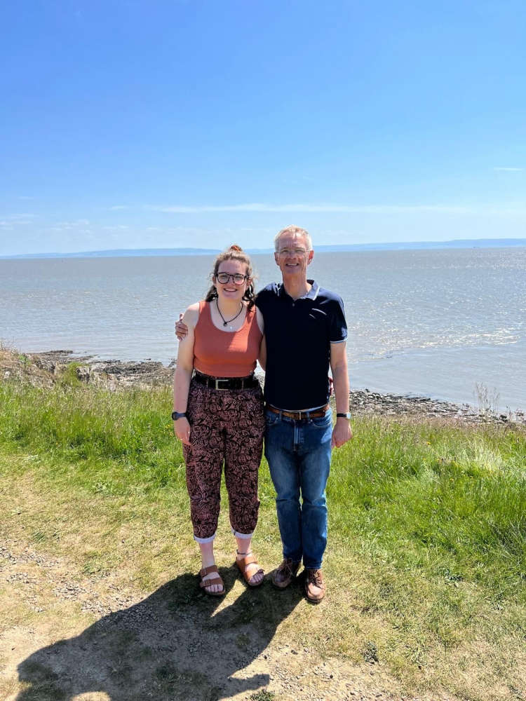
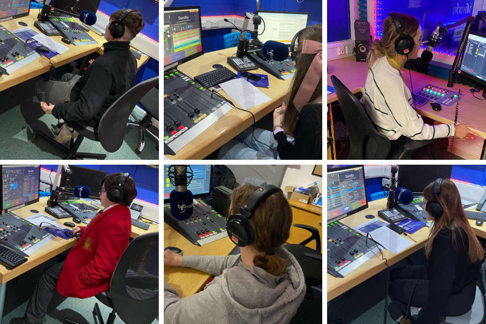 The kids are taking over!
 Double shout for RNLI crews
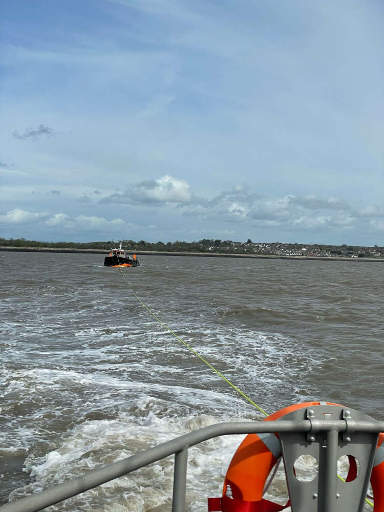 Drifting dredger rescued off Hayes Point
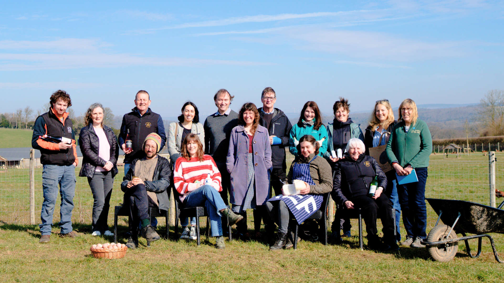 Line up unveiled for 2025 Vale Food Trail
 Blackweir Live: licence approved for controversial gigs
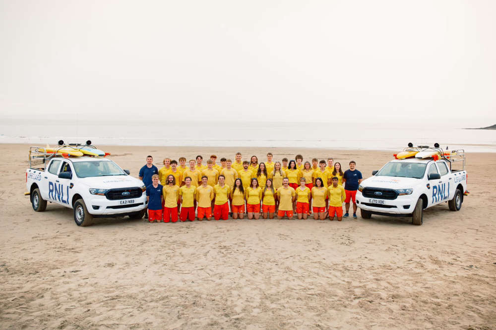 Lifeguards return to Whitmore Bay
 More funding for Vale hospices
 Upgrades for Llantwit and Barry leisure centres
 Vale firms nominated for Wales Business Awards
 Barry student prepares for Miss Wales final